Topographic Survey
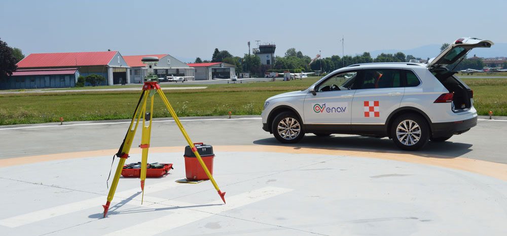
Acquisition of geo-topographic data of the significant aerodrome points (THR, RWY END, STAND, holding position, RWY profiles, etc.) and acquisition of geodetic and topographic data of significant obstacles, airport infrastructure and terrain.
The service provides all necessary information for ICAO aerodrome mapping and/or other airport mapping purposes, collecting relevant data in accordance with the accuracy standards of current regulations. The service can be used to create, improve, and update an airport obstacle database or to prepare the necessary information to create an airport obstacle chart.
Since the 1980s our department has been involved in the acquisition and processing of aeronautical data and we experienced the first digital transition with the first numerical cartographic processing in 1988. Today, we have improved our services from data analysis to the production and updating of aeronautical charts, through advanced and periodically maintained topographic equipment and database systems that are well integrated in the design database.
Since digital data are dynamic due ongoing updating and changes or improvements of airport infrastructure around the aerodrome, we have focused our improvements on the integration of the design database with the database of aeronautical information (Aero-DB), which enables us to provide a dynamic real-time view of the aerodrome. Our service includes all necessary preparatory work and surveying, which is performed by highly specialized personnel using the latest and most sophisticated equipment. The service includes surveying (GPS and angular metric) and instrumental data is then processed for output. A geodetic network of the airport is drawn up based on the network provided by the Italian National Military Geographic Institute (IGM).
For further information about this service
Fill in the following form