Aeronautical Cartography and Obstacle Maps
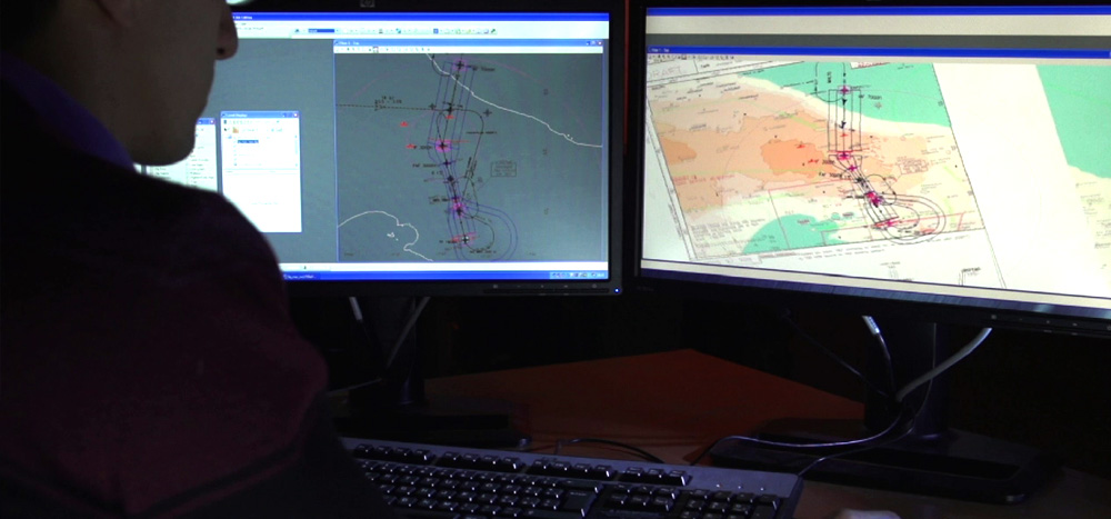
The airport charts service involves the production and updating of standard ICAO airport charts in accordance with Annexes 4 and 14 and provides all the material required to publish ICAO charts, such as: aerodrome chart; aircraft parking docking chart; hot spot chart; ground movement chart; and airport safeguarding maps. The activities are performed by high specialized personnel using the latest methods and the most advanced equipment available on the market. Obstacle Charts ICAO Type A/B is a service involving the production from scratch or the updating of aerodrome obstacle charts Type A and Type B. In addition, the production/updating of the PATC (Precision Approach Terrain Chart) is usually part of this activity. The charts are usually produced following an obstacle survey performed by ENAV specialists, although certified data provided by the customer can be used as well. Chart production follows all the rules and specifications provided for by ICAO and local requirements, where applicable.
Acquisition of data from customers or through a dedicated topographic survey performed by ENAV’s specialized personnel, using the latest methods and the most advanced equipment available on the market, in order to ensure the availability of: all geo-topographic updated data; the significant aerodrome points (THR, RWY END, STAND, holding position, runway profile, etc.) and other significant aerodrome structures; geodetic and topographic data of significant obstacles, airport infrastructures and terrain.
This activity, which has been performed for some 45 airports, has led to the production of about 150 obstacle maps and the definition of about 9.000, which are stored in the database with millimetre accuracy in some cases. About 900 surfaces or areas to protect operations to and from airports and about 300,000 artefacts or potential obstacles to air navigation, together with runway geography, are stored in the databases for the design of flight instrument procedures. We also look to the future because we have included airport development plans and the implementation of future operational environments in the database. That makes our service reliable in terms of assurance and integrity. We are able to provide output in a variety of formats in order to enable the digital transition, where data defined in a scope of logical schemas and models will include attributes and metadata. Therefore, our offer is ready for compliance with EUROCAE documents, such as the creation of an aerodrome mapping database.
For further information about this service
Fill in the following form